
Drone Roof Inspection in Gainesville, FL
Document large or difficult commercial roofs in Gainesville with drone imagery, labeled findings and a clear plan for hands-on follow-up.
Commercial Roofing Services: Drone Roof Inspection
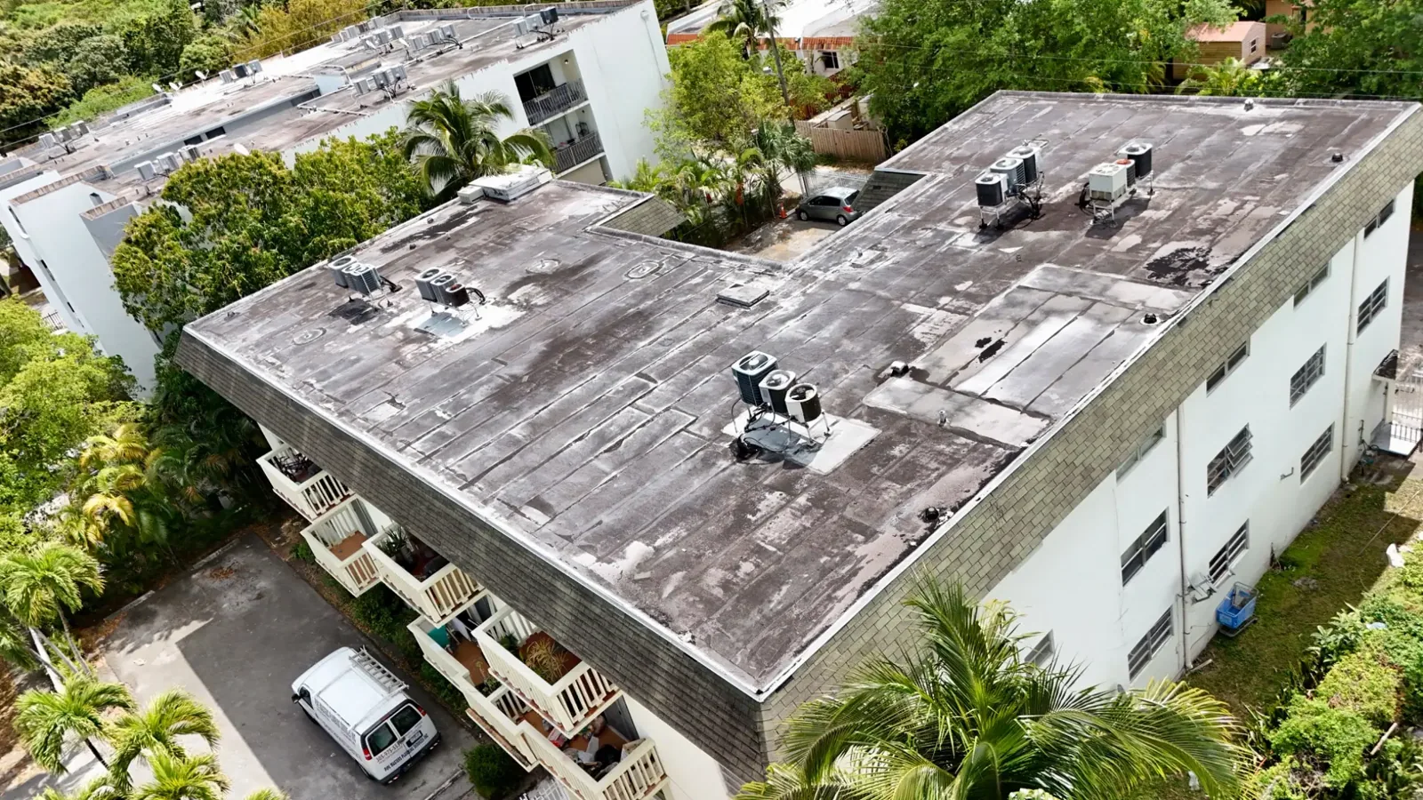
Aerial images can show a roof section quickly, but a useful inspection still needs a question to answer. In Gainesville, FL, we plan drone imaging around the building, the requested view and safe site access, then connect each image to a roof section or detail. The Gainesville Regional Airport covers a broad property footprint, while the University of Florida has more than a thousand buildings across its main campus. Those settings show why image labeling and building identification matter. Drone views help document visible conditions and plan a closer visit; they do not show every seam, membrane layer or hidden moisture condition.
Plan: Define the Building and the View
Before imaging, we confirm the address, building name, roof boundaries, access contact and purpose of the survey. The owner may need a record after a storm, images of an inaccessible section or an overview to plan hands-on inspection. We identify areas to capture, such as drains, roof edges, equipment clusters, penetrations and visible damage. If there are separate wings, additions or roof levels, each gets an identifier so the photos can be used later without guessing which building is shown.
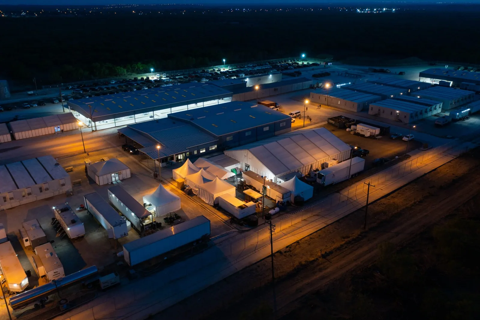
At the University of Florida, the variety and number of structures call for a location-specific image set. At the Gainesville Regional Airport, the airport and industrial park footprint also makes it important to mark which building is under review. Aerial imagery should not be filed as one unlabeled folder. We confirm the site boundary and the flight path with the person responsible for access, and we keep the requested view tied to the inspection record.
Capture: Record Surface Conditions Clearly
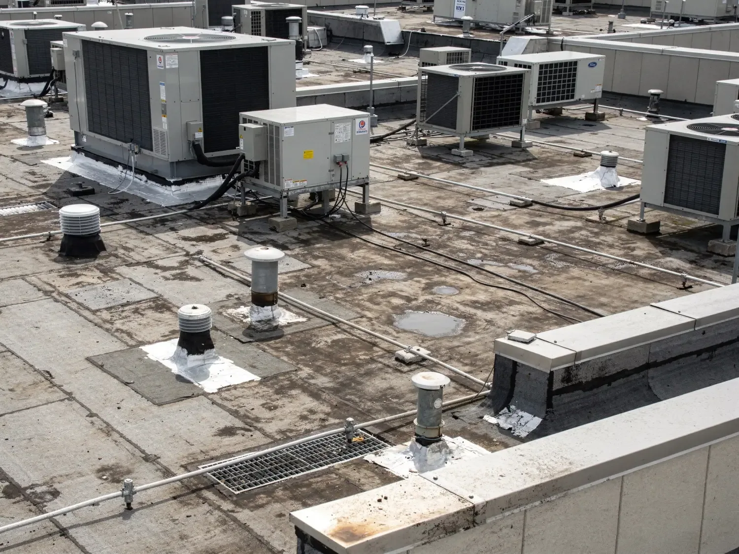
We collect images that show the roof in context and then move closer to visible details where safe. The image set can document debris, standing water, open areas, damaged metal, equipment locations, surface changes and the relationship between sections. Overlapping views help place a detail on the roof plan. We note the date and the building, then label each finding so it can be compared with a later visit or a contractor's hands-on inspection.
Gainesville's thunderstorms and heavy rain make storm follow-up a practical use for aerial documentation. A total of 104 thunderstorm days and 82 heavy-rain days were recorded for Gainesville in 2022. A dated aerial view after a storm can show visible debris or movement and help direct a closer roof inspection. We describe what the image shows and distinguish visible debris or displacement from a condition that needs touch, probing or testing. For a wind-damage review, image locations can help direct a closer check of edges and roof details.
Compare: Aerial Images and Hands-On Inspection
Images are useful for scale, context and repeat views. They can help a facility manager see how several roof sections relate, document a change between dates or identify where a closer look should begin. They cannot confirm whether a membrane is bonded, whether insulation is wet, how a fastener holds or whether a flashing detail is sealed below its surface. Shadows, glare, surface color and image angle can also make a feature harder to interpret.
When the decision depends on hidden conditions, we pair images with a hands-on roof inspection, infrared readings or test openings. A moisture survey addresses a different question by mapping possible water within the assembly. The owner receives a clear description of what each method can and cannot establish. A standing seam metal roof may show panel movement or loose trim from above, but fasteners and concealed transitions still need direct inspection when their condition affects the repair scope.
Coordinate: Keep Imaging Out of the Way
Drone work still takes coordination on an occupied property. We agree on site contact, takeoff and landing areas, roof access and any pedestrian or vehicle routes that need to remain clear. We schedule around deliveries, events or sensitive building uses and notify the people responsible for the site. The plan should identify the exact buildings and roofs to be captured, particularly on a campus or multi-building commercial property.
Weather affects whether images can be collected and what they show. Wind, rain and low visibility can limit a safe or useful flight, so the scheduled window may need to move. We confirm conditions before launch, capture safe visible areas and mark obscured or inaccessible roof sections for follow-up. A time-sensitive storm record can prioritize the areas most relevant to the reported condition.
Deliver: Make the Images Useful Later
The finished set should preserve building name, roof section, capture date and the locations of visible findings. We can pair images with a roof plan and a brief observation list that says what was visible, what could not be evaluated from above and which items need hands-on review. The owner receives images that can support repair planning, maintenance tracking or a comparison after another storm. The inspection report pairs aerial views with hands-on findings and labels any test results separately.
For a multi-building portfolio, labeled records reduce the chance that an image from one structure is treated as another. College Park / University Heights and Innovation Square include different building mixes, so portfolio records should preserve each building’s identity. A condition report can combine aerial views with inspection notes and test results where those have been collected. We can also set an inspection interval so images and hands-on findings are refreshed in a useful sequence. If the findings support major work, replacement planning can start from the mapped scope.
Image quality depends on a clear assignment. We identify the building and roof boundary, choose views that show perimeter and field conditions, and retain the capture date with the files. If trees, rooftop equipment or shadows hide an area, we label that limitation so a later reader does not mistake an incomplete view for a clean surface. Flight timing also depends on wind, rain, airspace and site rules. Where those conditions prevent a useful view, we mark the area for a hands-on inspection instead of treating missing imagery as a finding.
Frequently Asked Questions
Can drone images confirm that insulation is wet?
No. Aerial photos can show visible surface conditions and help select testing locations, but they do not directly confirm moisture under the membrane. Infrared readings or a test opening may be needed, with the method chosen for the roof assembly. We label the image observations separately from any verified moisture finding.
What buildings are a good fit for drone imaging?
It can be useful for large, multi-section or difficult-to-access roofs where an overview helps locate details and plan a closer inspection. We identify each building and the purpose of the images before the visit. If the owner needs to confirm a seam, attachment or hidden layer, aerial images should be paired with hands-on inspection or testing.
Can we use drone photos after a Gainesville storm?
Yes, when site and weather conditions allow safe image capture. Dated images can record visible debris, displacement or surface changes and help direct follow-up. They do not alone establish cause, damage below the surface or a repair quantity. We note any obscured or unvisited sections so the owner knows what still needs review.
How are the images labeled for a campus or multi-building site?
We confirm building identifiers and roof section names with the site contact, then keep those labels with the image set and roof plan. That makes later comparison more reliable when a portfolio has many roofs. Access limits or areas we could not capture are recorded with the delivery rather than left implicit.
Related Roofing Work
Plan a Drone Roof Survey
Share the Gainesville address, building identifiers, roof records, purpose of the images, access contact and preferred window. We will outline the views and any hands-on follow-up needed to answer the roof question.